Durgapur is a city of the state of West Bengal, India, located about 160 km from Kolkata, in the Burdwan District. It was a dream child of the great visionary Dr. Bidhan Chandra Roy, the second chief minister of the state. The well laid out industrial township, designed by Joseph Allen Stein and Benjamin Polk is home to one of the largest industrial units in the state, Durgapur Steel Plant, one of the integrated steel plants of Steel Authority of India Limited. Alloy Steels Plant of SAIL and CMERI, a CSIR laboratory, are also located here. There are a number of power plants, chemical and engineering industries etc. Some metallurgical units have come up in recent years. National Institute of Technology, Durgapur (Earlier known as Durgapur Regional Engineering College REC),is one of the most prominent seats of the Indian Central Government Engineering and Technological Educations of the country.
Extreme weather in China
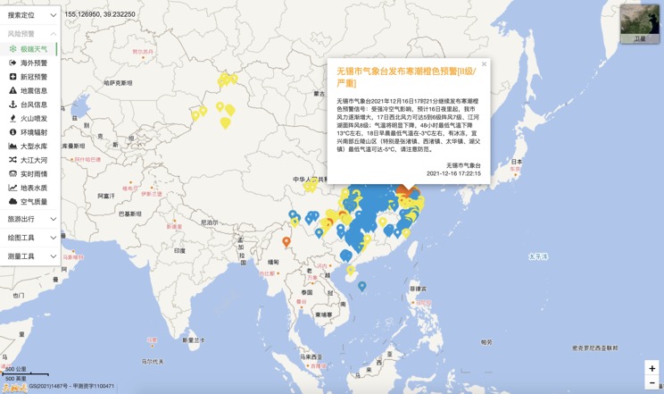
China Earthquake Information
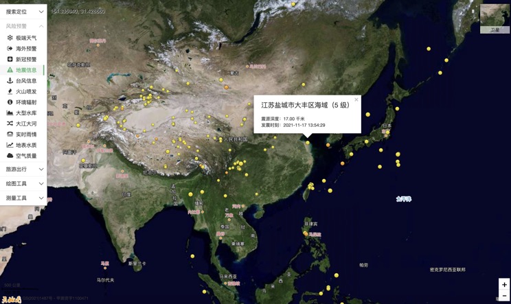
Volcano eruption
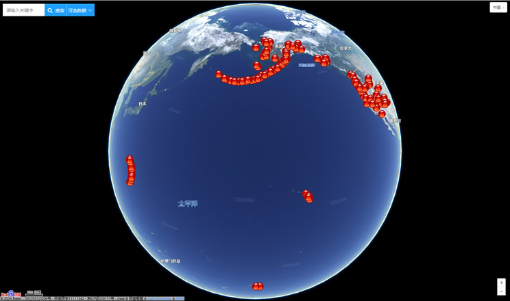
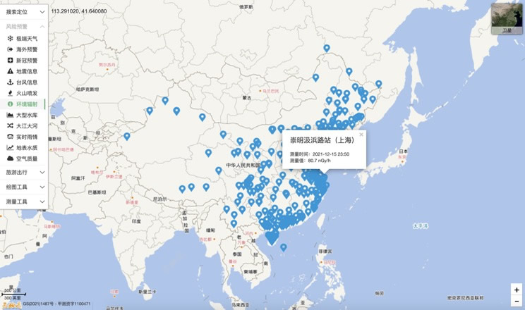
Environmental Radiation in China
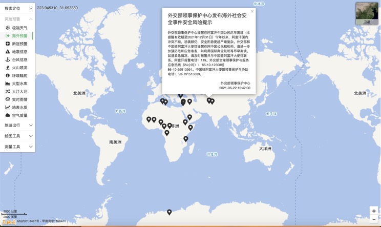
Overseas Warning
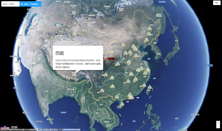
China's air quality
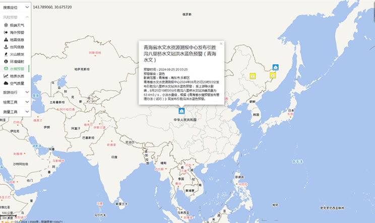
China's Water Disaster Alert
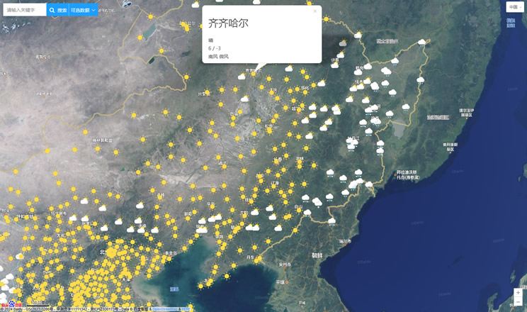
China Weather Forecast
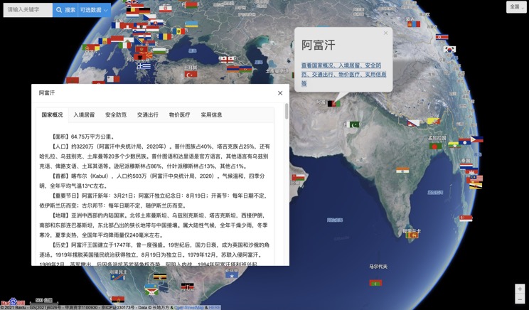
Introduction to Countries
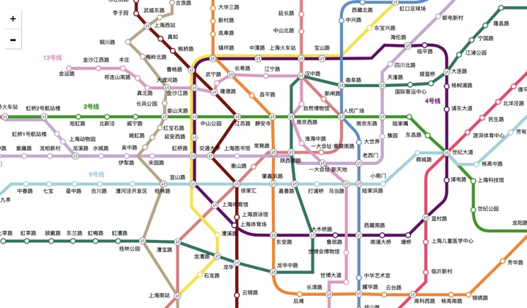
China Subway Lines
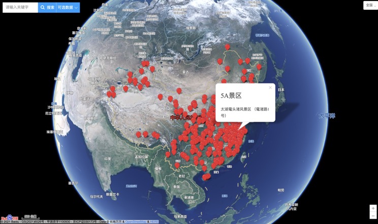
China's 5A Scenic Spots
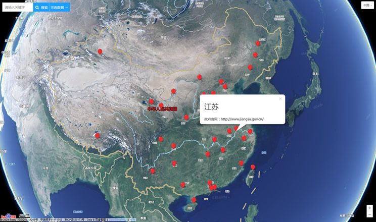
Provincial Capitals in China
